Bike the Butte
Hard Core. Grueling. Spectacular.
These might be three adjectives to describe a full loop mountain bike ride on the Chelan Butte. It is an outing you won’t soon forget. Sound too intense? Read on, there are easier options.
The Climb
The Chelan Butte rises 2,735 feet above the valley floor to an elevation of 3,835 ft. The peak is accessible via the Chelan Butte road. The entry on Trailforks describes the climb as “nothing short of relentless”. Very true.
I like to begin the ride by parking at the Lake Chelan High School in Chelan. Bike west on Hwy 97a to Lakeside. Turn left on S. Millard Street and start your climb. Within a few blocks, the street narrows and turns into the Butte Road.
The journey to the top is a test of physical and mental toughness. My wiry friends who seem to have been born exercising can make the entire 4.3 mile climb without stopping.
But don’t let these alphas define success. Take your time, start with plenty of water, and enjoy the views on your way up. They get better and better!
Trailforks offers excellent topo cross sections to help you understand the challenge of the climb.
The Descent
The top of the Chelan Butte has multiple cell phone towers. I typically rest my bike against the fence surrounding one of the lower towers and take a short stretch break. Walk up to the very top of the Butte (a few steps to the south) and take in the view down across the Columbia and over the Waterville plateau.
Then, drop your seat post, release your shocks, and prepare to fly! The descent follows one of the main ridge lines of the eastern flank of the Butte. The trail has grown increasingly rutted in places with additional use over the years. Keep your attention firmly ahead.
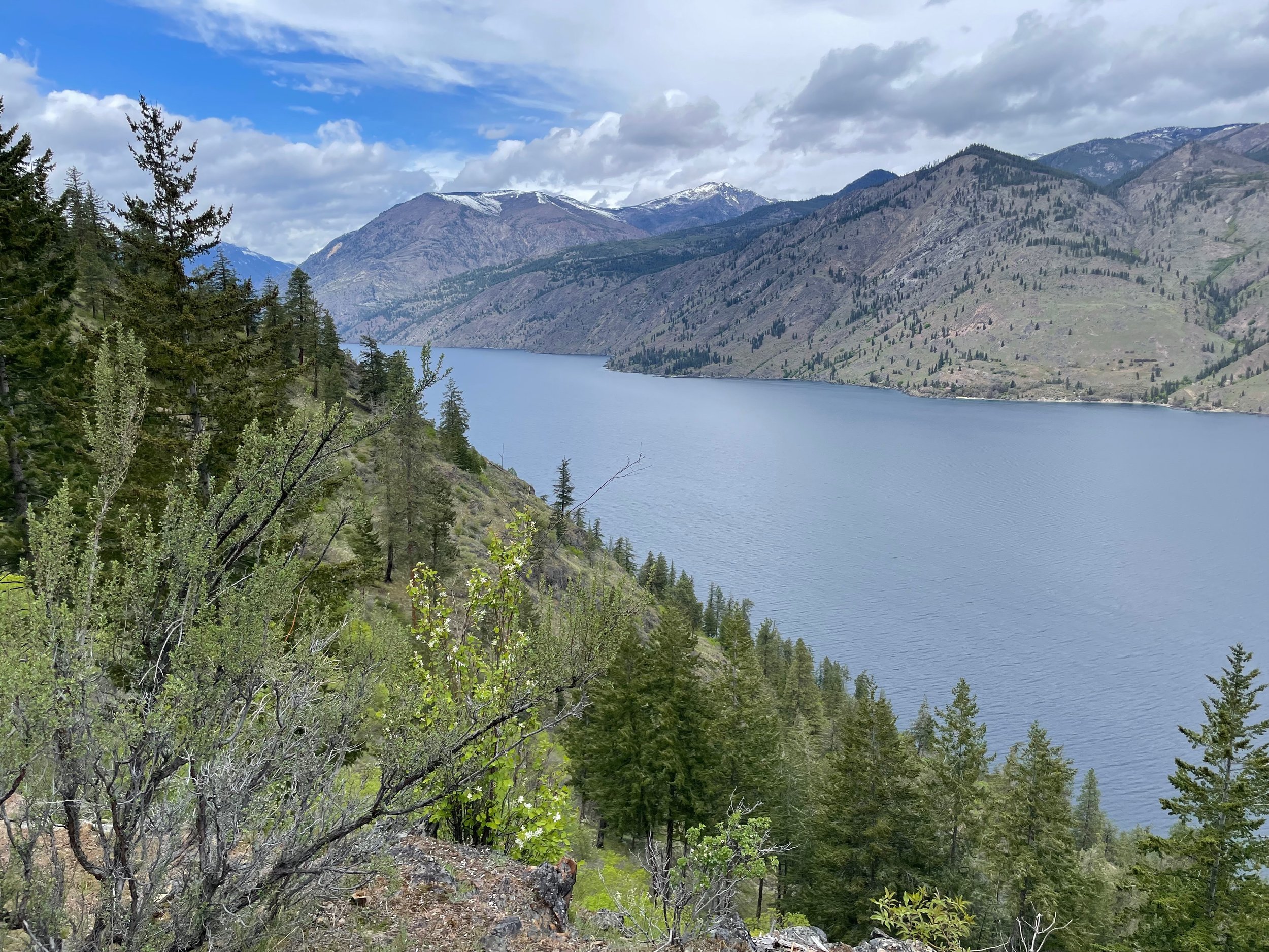
But don’t forget to stop and take a few selfies! The views of Lake Chelan seem to stretch out forever.
As you approach the lower half of the trail, be prepared to meet more hikers. The Elephant’s Head hike is a popular outing for hikers and runners. I’ve found most hikers will step off the trail. Please drop your speed (and dust cloud) out of courtesy as you ride by.
Once you are back on the pavement, head west back towards the Chelan High School and your vehicle’s welcome padded seat. Congrats!
An Easier Way
O.K. so if all of this sounds intriguing, but you’d like to enjoy the views and downhill without risking cardiac arrest, you have options.
First, get a friend or spouse to drive you to the top. Make sure you have an SUV or 4x4 as four-wheel drive is imperative. And make sure your driver is comfortable with mountainous conditions and no guard rails.
Second, grab your E-bike! I have yet to experience the miracle of riding an E-mountain bike. But friends a bit older than me have raved about the merits. I could see how having pedal-assist might downgrade the choice of adjectives from grueling to challenging, from hard core to just plain hard.
Give Thanks for the Trail
One final note is that you will be biking across a “social trail” as you descend. This is an unapproved trail, created by social use over the years. At least a third of the trail also crosses private property. Local organizations like the Lake Chelan Trails Alliance are taking the slow steps to ensure that this trail remains available to the public in the future.


